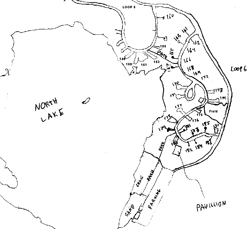
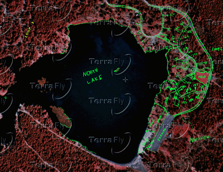
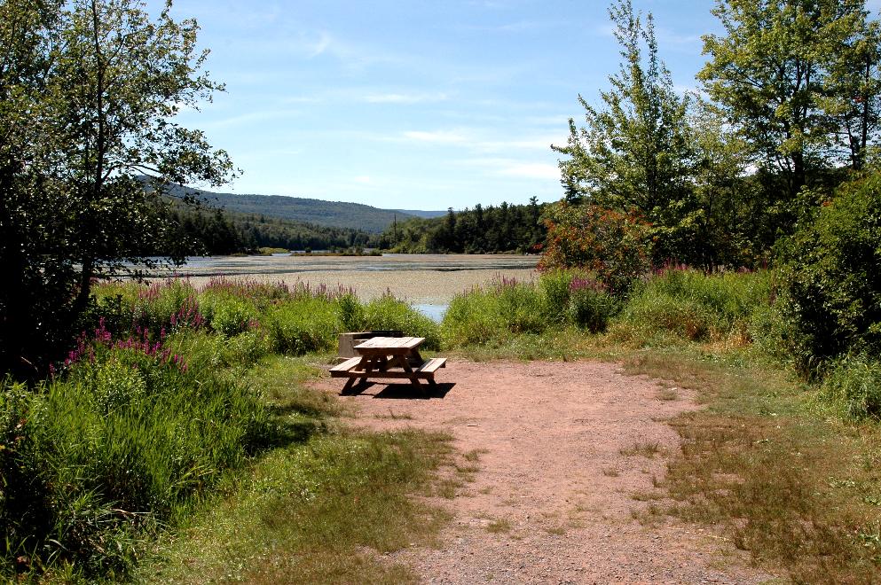
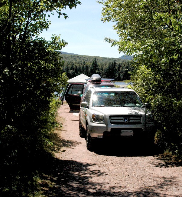
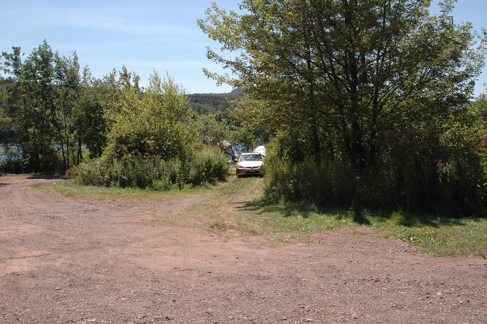
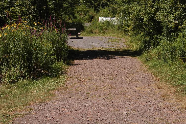
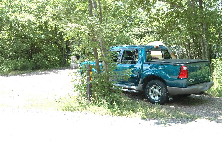
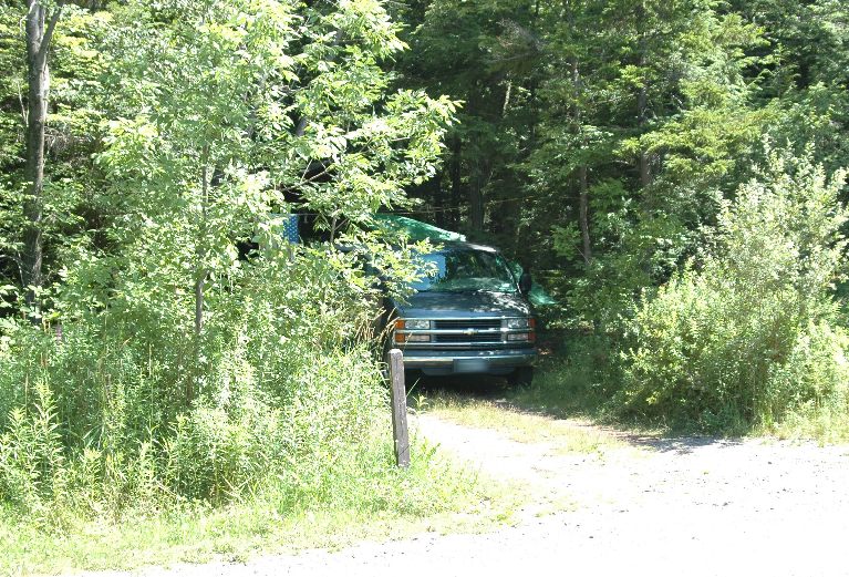
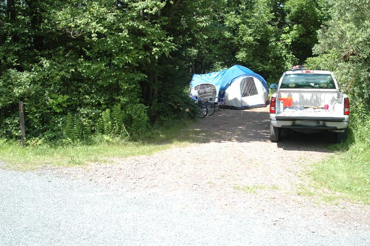
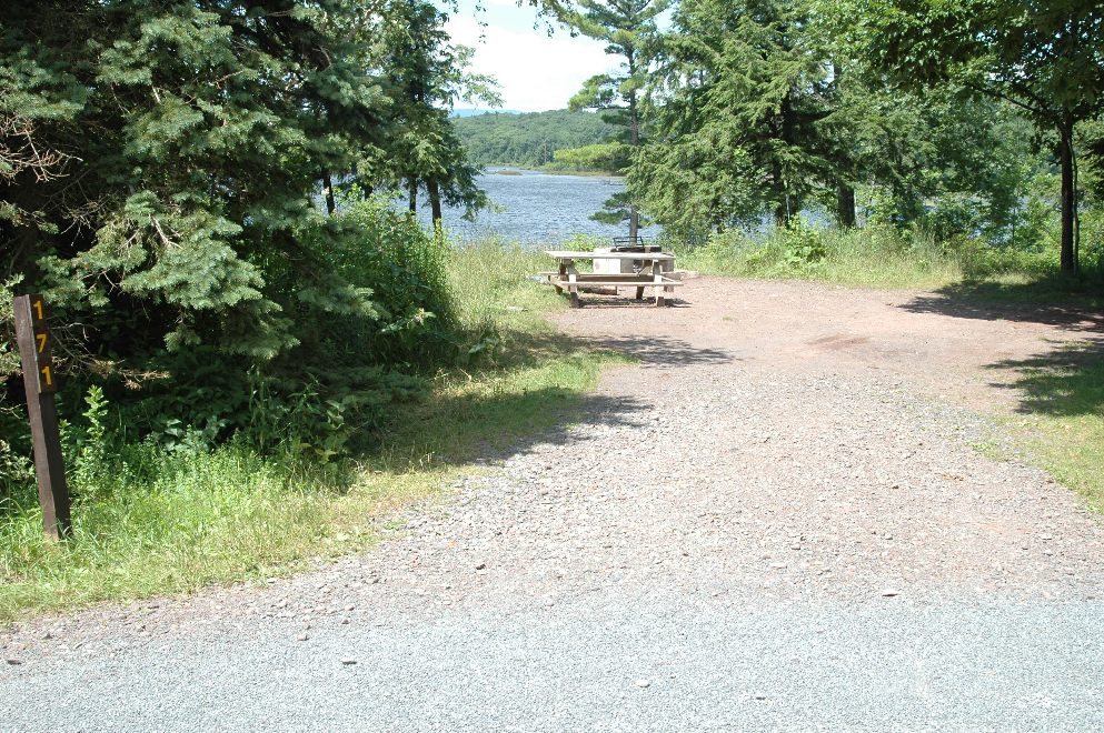
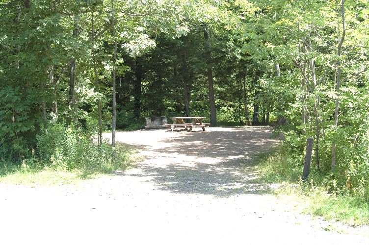
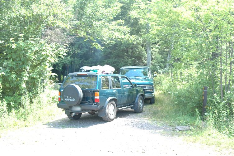
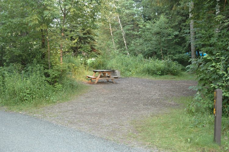
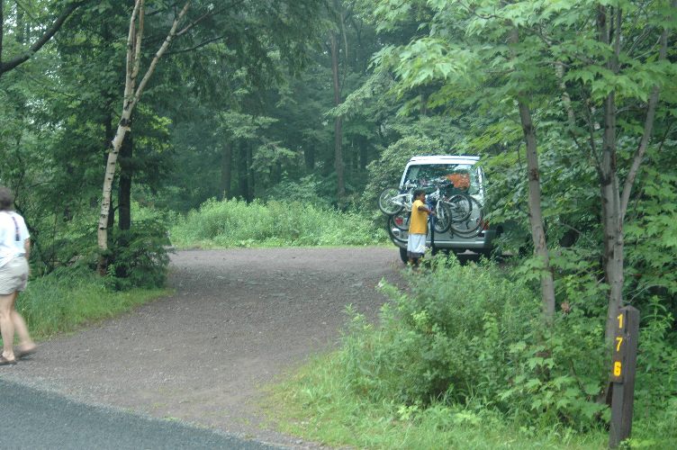
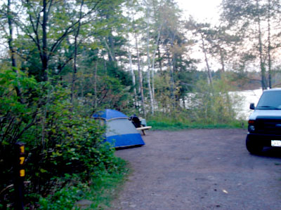
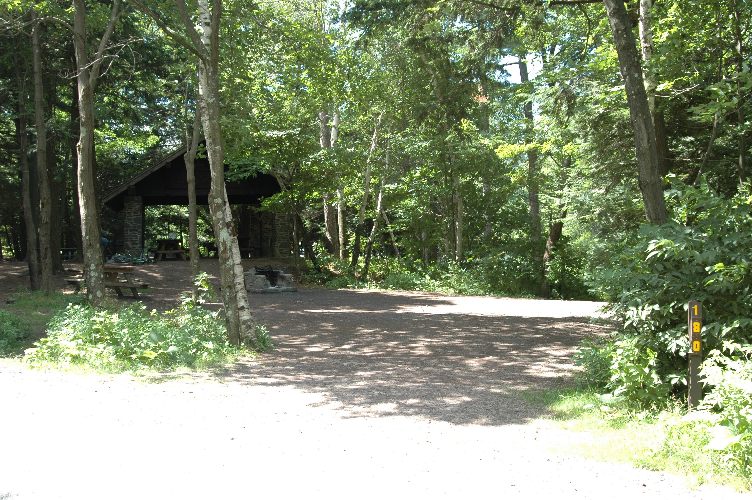
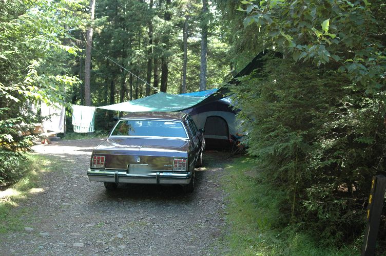
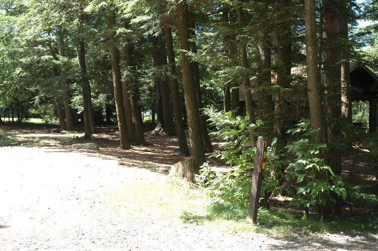
So in July of 2005 when we went I made a pencil sketch and also used a gps to mark each site. I combined the data with a satellite picture (aerial?) and here are the results. I only did loop 6. I also photographed many of the sites. In August of 2006 I added a few loop 5 sites and pictures of the beach. If you have other photos or maps send them to me and I will add them to this web site.
If you like this site, please email me.
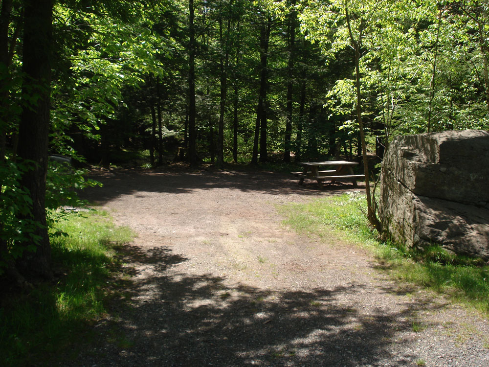
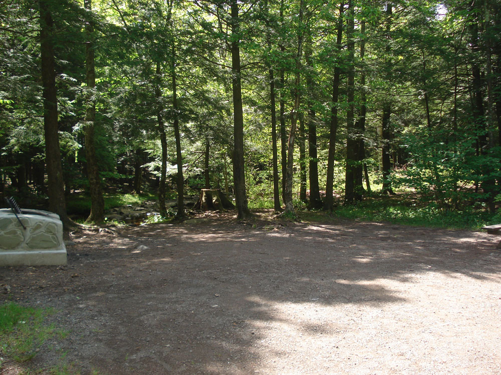
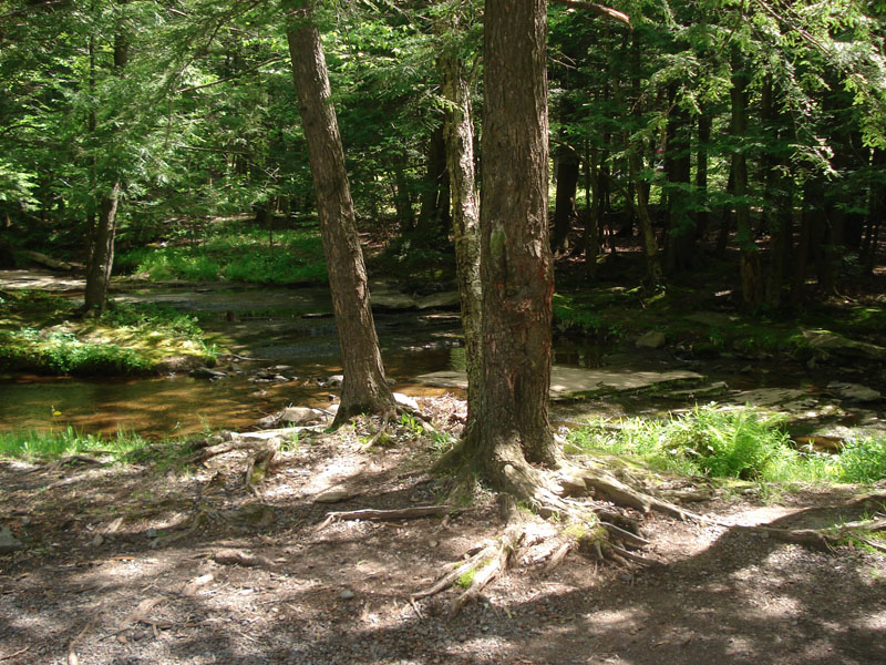
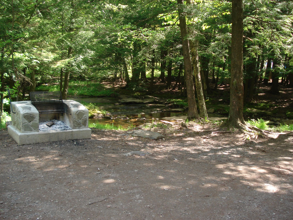
Click on a number to see a picture of that site:
Things other than sites:
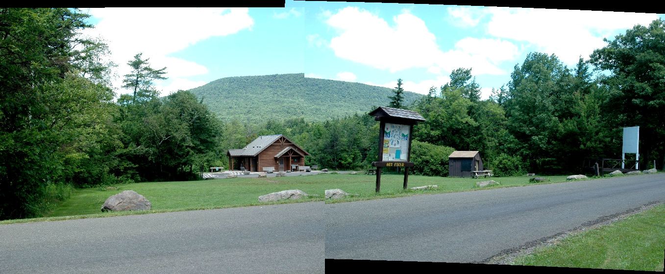
field
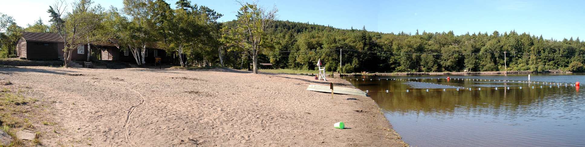
beach panorama
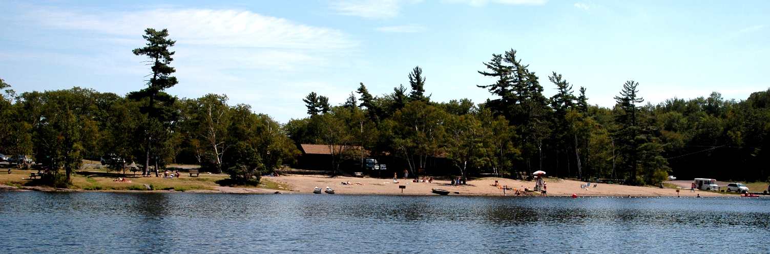
beach2
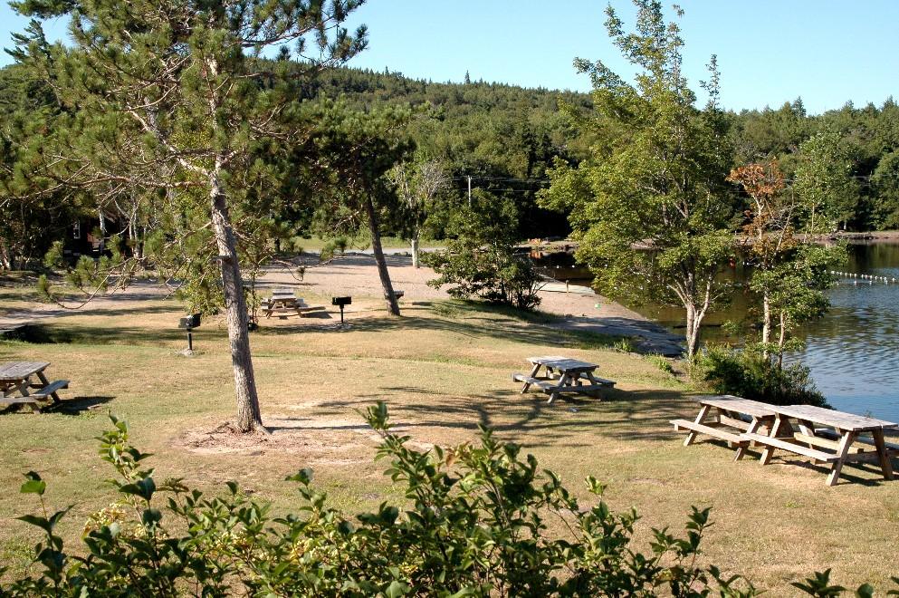
beach3
LOOP 1
11
11
11
11
11 (5 pics of same site)
LOOP 5
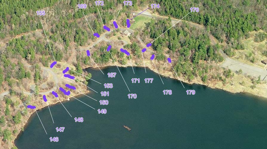
147
148
149
150
151
152
153
154
155
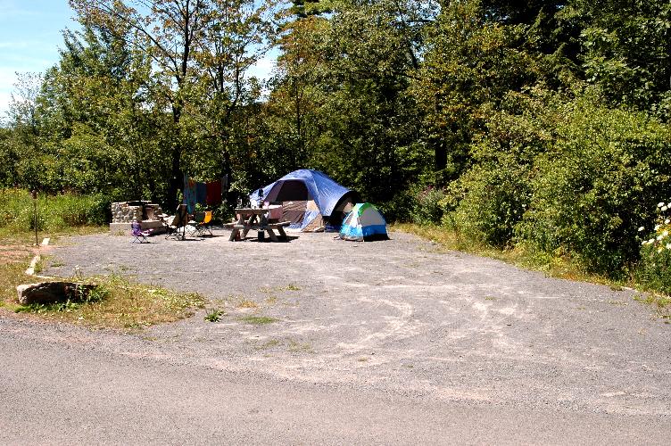
LOOP 6
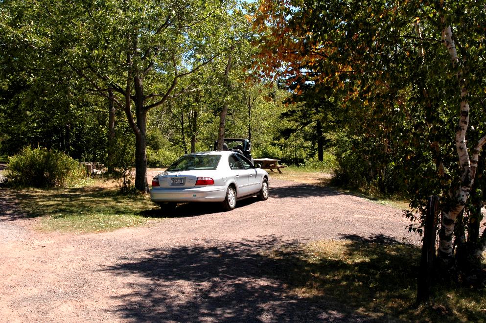
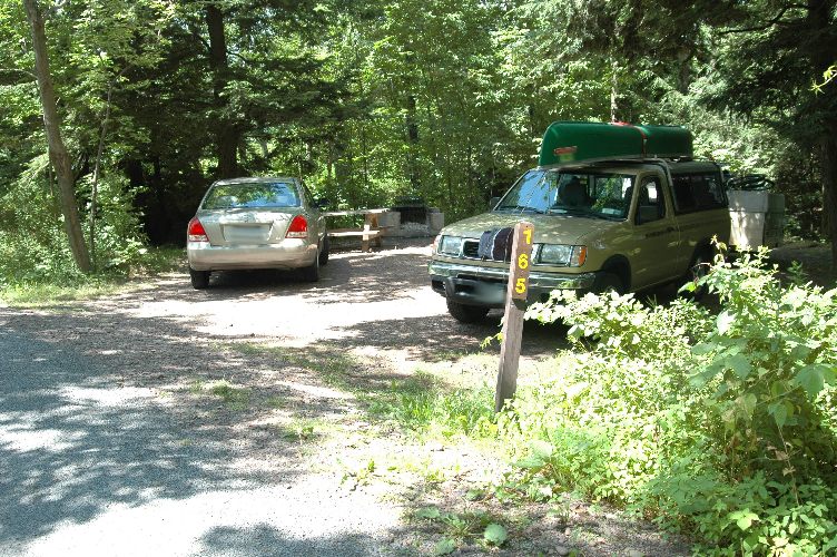
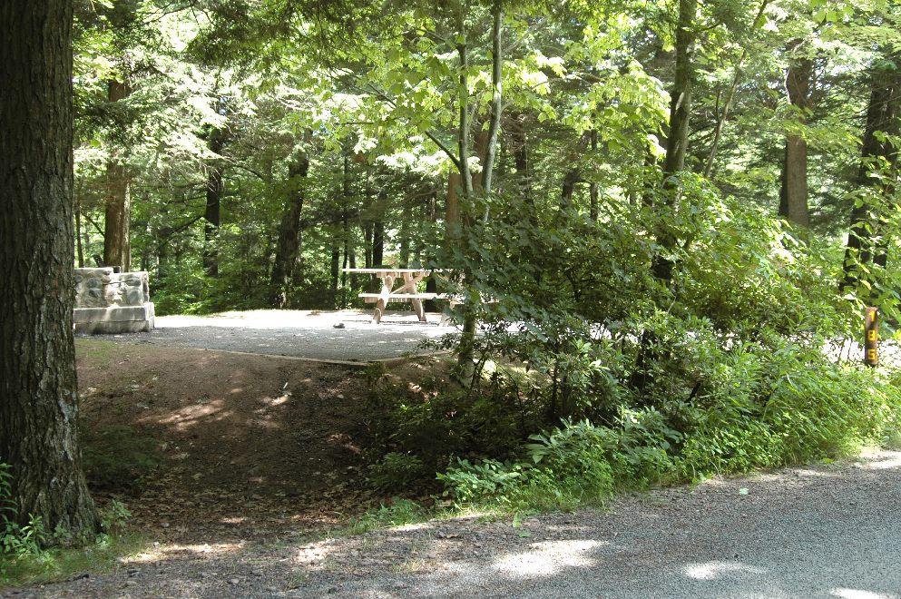
165
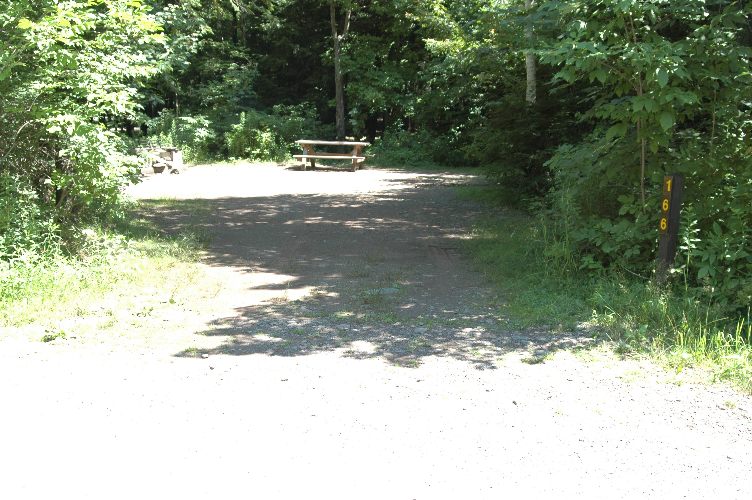
166
167
168
169
170
171
172
173
174
175
176
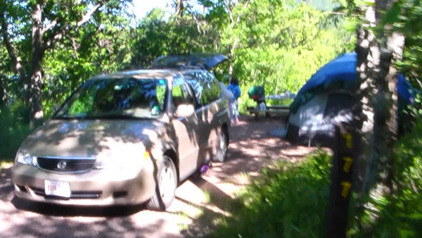
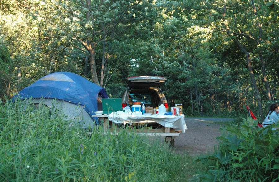
177
177alt
177(from path to lake)
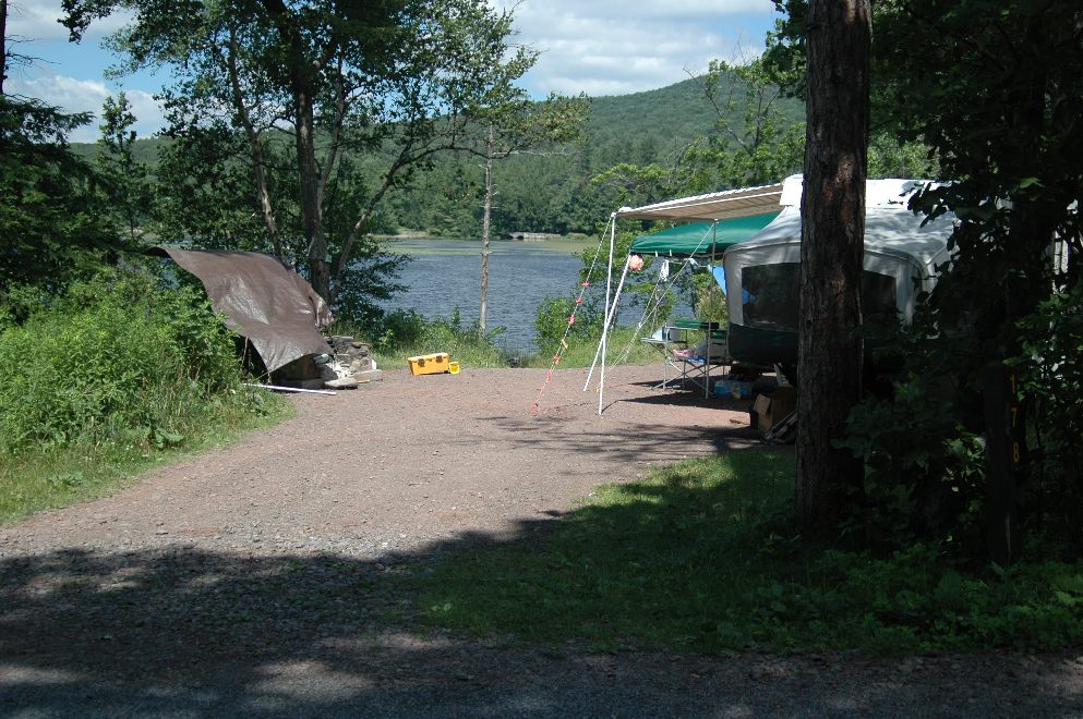
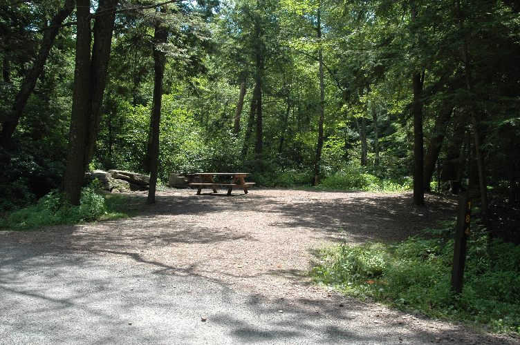
178
179
179alt
179altb
180
181
182
182alt
183
184
185
185alt
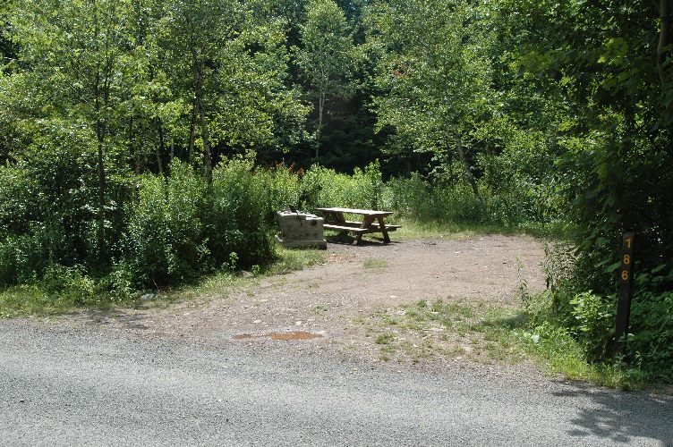
186
187
To navigate around yourself try this link and please realize that you can rotate to face north,south,east,or west and you can zoom in or out for two different possible magnifications: http://local.live.com
